|
Hawksbill Project Dominican Republic
|
|
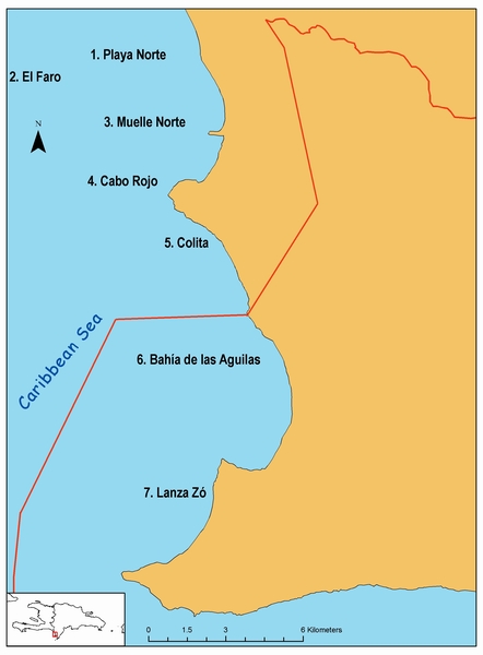
The western part of Jaragua National Park and nearby Cabo Rojo is our general study area. For the past three years we have focused our efforts on only seven sites (shown in the map; the red line shows the boundary of Jaragua National Park). These sites were chosen due to their proximity to shore and their more protected location with respect to prevailing winds and currents, which made more feasible our goal of maintaining a long-term study. Nineteen field trips were conducted to our general study area between May 1996 and August 2002 during different times of the year.
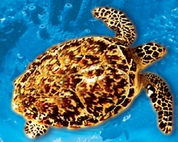
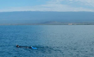
Turtle surveys consisted of one-hour long, daytime snorkeling censuses in hard-bottom and coral reef habitats with a depth of 15 m or less. Turtles were captured by hand following the method of Diez and van Dam (1994) by four to five swimmers, followed by one other person on board a boat. All captured turtles were brought to the vessel for data collection. Turtles sighted (but not captured) were also recorded for each survey. Maximum straight carapace length (SCL) in cm was obtained for all turtles using a Haglof 60-cm tree caliper. SCL here is the length from the nuchal notch to the posteriormost tip of the carapace. To minimize measurement errors, the same observer (YML) took all measurements.
Turtles greater than 25cm (SCL) were tagged in both front flippers using Inconel tags prior to their release. Additionally, we tagged all turtles with passive integrated transponders (PIT tags) inserted in their frontal right flipper muscle. To detect them, we used an Avid Power Tracker IV reader (Norco, California). Since 2000, we started applying plastic tags (Dalton Jumbo Rototag). However, due to their larger size, we only applied plastic tags to hawksbills greater than 35cm (SCL).
To determine the location of each capture and to release the animals as near as possible to where they were first sighted, the geographic position of each individual was obtained using a Global Positioning System (GPS) receiver. A Garmin 12XL receiver was used without differential correction. We also used this GPS data to calculate the distance between first and last capture(s).
Last Updated: 20 Aug 2007
Questions or coments about this page? contact: Yolanda León